Service Detail
To satisfy increasing government expectations and ongoing public accountability issues, Cosmic Desert has developed a process that provides the necessary skills and services to undertake partial or entire layouts that complement any situation.
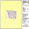
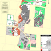
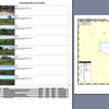
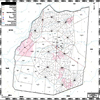
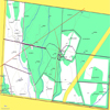
Preparation of Property Maps of Assessable Vegetation (PMAVs); Ongoing Clearing Purposes (Thinning and Encroachment); Subdivision or Reconfiguration of a Lot (RCL) applications.
Click images to enlarge
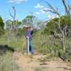
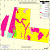
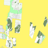
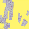
Ground-truthing of Category X and White and Green areas on Regional Ecosystem maps; validation of coloured areas on Regulated Regrowth maps for amendment purposes.
Click images to enlarge
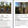
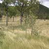
Clarification of regrowth height and canopy parameters using Line Intercept Transects (LIT); providing clear documentation to substantiate Thickening and Encroachment issues.
Click images to enlarge
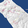
Preparation of holistic or specific Vegetation and Property Management Plans.
Click images to enlarge
Delbessie Lease Renewals; Reef and Local Council weed plans.
Click images to enlarge
On-ground plotting of infrastructure; delineation, flagging and collection of ground control points.
Click images to enlarge
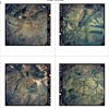
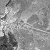
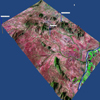
Supply of Satellite imagery and Air Photo mosaics in industry-standard configurations and government-preferred formats.
Click images to enlarge
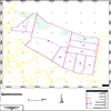
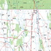
Spatially-accurate mapping; colour laminated office wall maps; glove box maps; digital representations for rural valuations and sales brochures.
Click images to enlarge
Property-specific GPS background maps.
Click images to enlarge
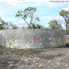
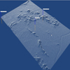
Elevation data for stock water layouts, profiles, phone signal options etc.
Click images to enlarge
"In the Paddock" GPS training and introduction to elementary GIS and farm mapping.


General topographical data and information, including cadastral boundaries and their on-ground relationship.
Click images to enlarge
Category X and White area calculations on PMAVs and Regional Ecosystem maps; discreet and confidential Land Cover assessments as part of "due diligence" prior to property purchases.
Compliance-related issues.
Cosmic Desert can provide track logs, digital overlays, manipulated vector data and a range of image and document conversion options. We are experienced in Writing To Criteria and digitally expressing data and information.
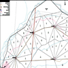
Whole Property Design, including:
- paddock subdivision
- cell grazing / rotational grazing
- area calculation
- distance calculations
- watering points and paddock layout
- fencing material calculations
- laneway system planning
- environmental planning involving the delineation of:
- soil types
- riparian areas
- shade lines
- degraded areas
- reclamation areas
- drainage works
Additionally, Cosmic Desert may be able to assist in the following processes:
- Land Systems mapping confirmation
- Lease Renewal accountability
- Rating Valuation disputes
- Funding applications

